***Certificate-Based Course***
This is a limited-enrollment, live and interactive program. Data Analytics for Satellite Imagery is a virtual course for professionals and university students who are interested in the basics of the space sector and disruptive technology.
As the cost of satellites drops, we have unprecedented access to petabytes of data, with the variety and volume of imagery increasing exponentially. Hand-in-hand with this influx is increasing computing capacity, which allows us to interpret images and generate actionable data for a number of sectors, including maritime, supply chain, and agriculture. This workshop focuses on agriculture:
Learning objectives for this webinar focus on data analysis for the agriculture sector and the NASA Harvest program, with a focus on guided, hands-on learning opportunities including:
-
aquire knowledge about NASA Harvest and satellite image processing
-
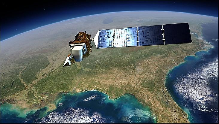
apply your knowledge analyze of Landsat 8 data using your own computer
-
access over the internet to a handheld satellite (“CubeSat”) simulator to remotely operate a desktop model using your own computer
This interactive course is limited in size to maximize interaction with knowledgeable university faculty and industry experts.